The energy transition needs metals

We find them

At Akarbo, we strive to dedicate our energy and wit in the pursuit of elements we believe worth mining, processing and exploring for.

About Akarbo Resources

Spitzberg_map_Devonian

At Akarbo, we consider that mineral resources hold the answers to a low-carbon future.

Our aim is to foster the discoveries of the metals powering the energy transition.

We achieve that through remote sensing, with big impact and low footprint.

Global, high-resolution (10m) geophysics are key to inexpensive, 

first-pass mapping of geological anomalies.

– (AU$1000 per 100km*100km map)  – 

While we propose our services,

we also explore and peg on our own.

Our Services

False color satellite picture Gascoyne

GIS- Satellite teledetection

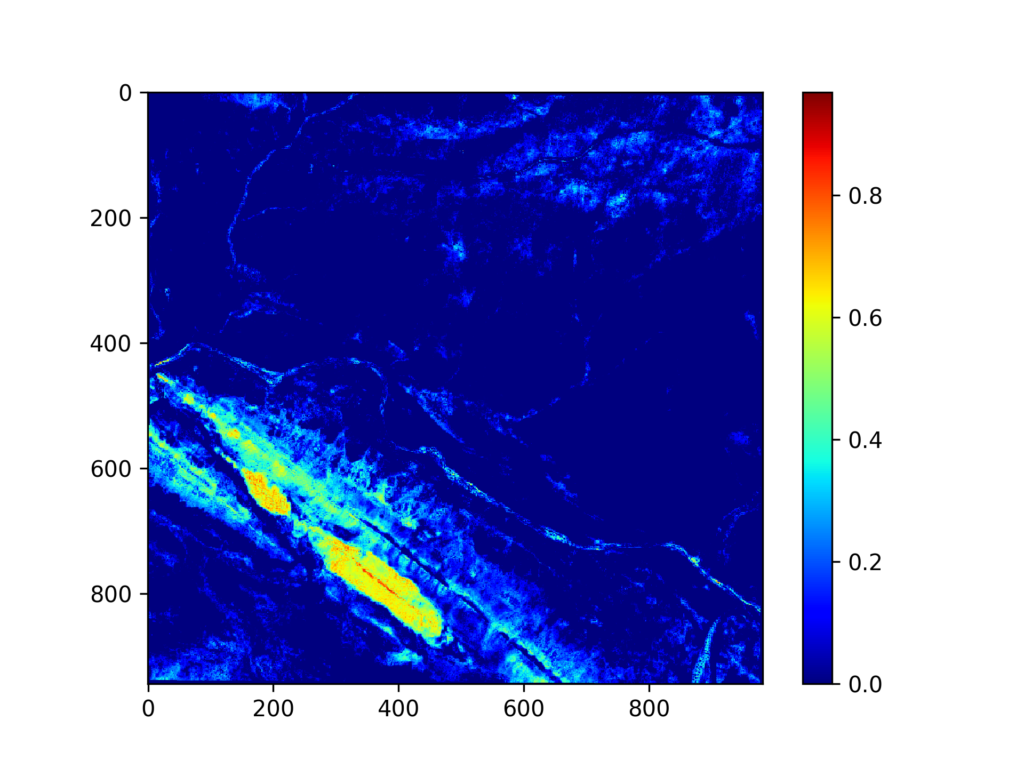
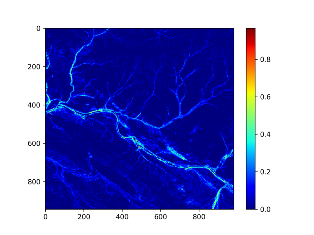
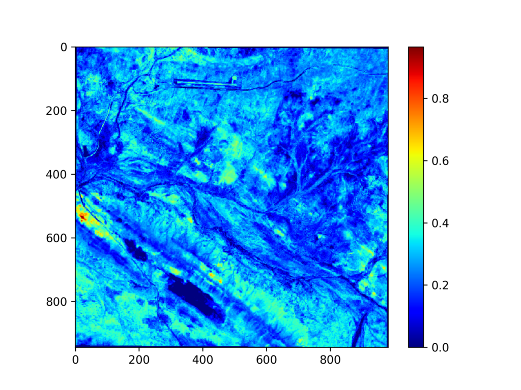
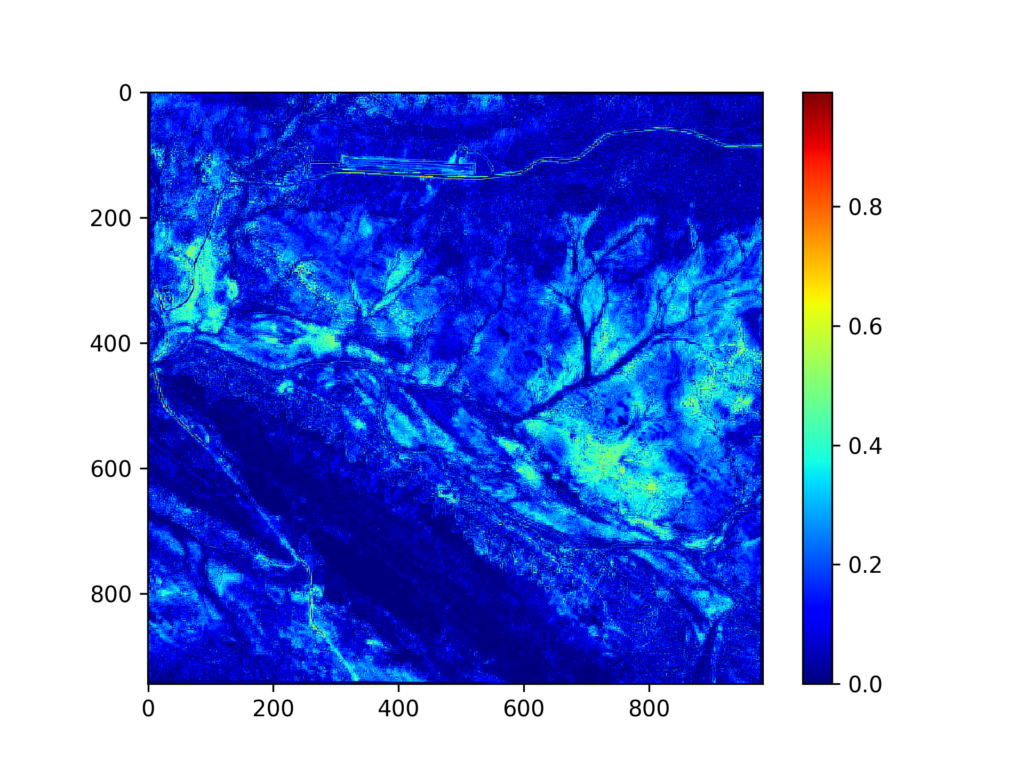
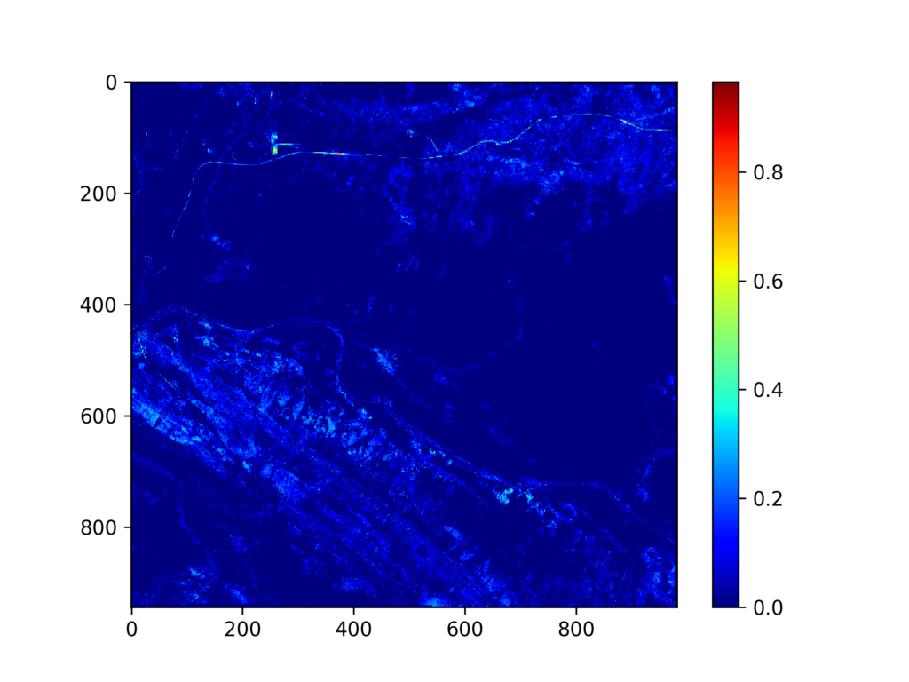
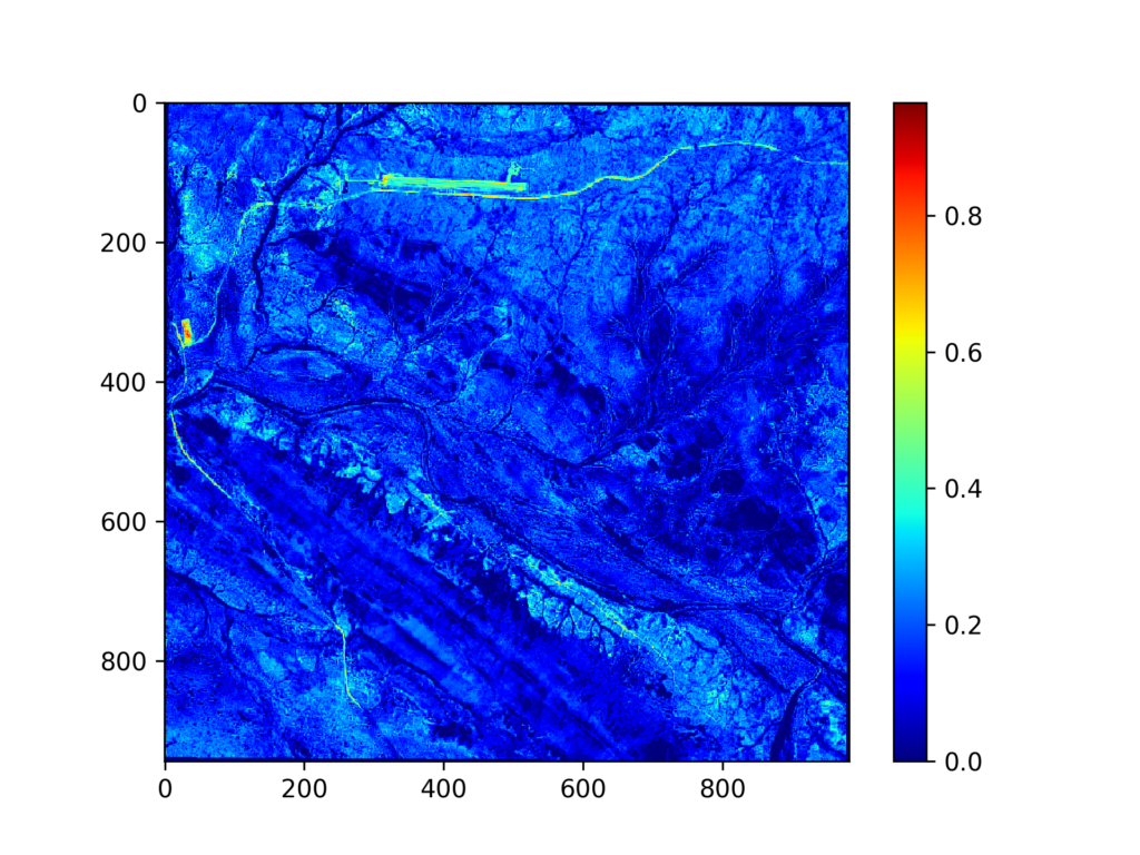
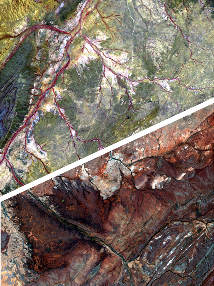
Low-cost preliminary remote-sensing helps target generation by detecting signals associated with mineralised ground.

Chrysocolla_in_shale

Mineralogical study

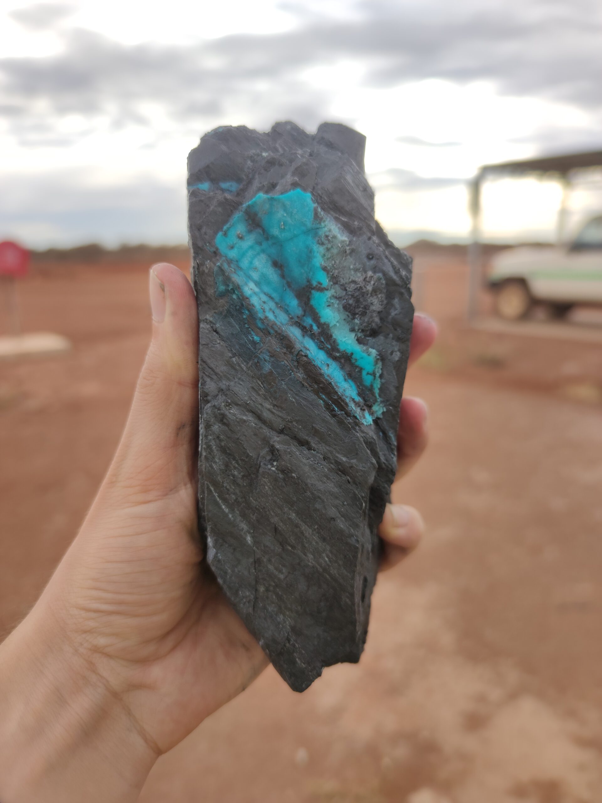
We're industry experts in identification of minerals from the field to the lab.

Portable X-Ray Fluorescence

Data collection

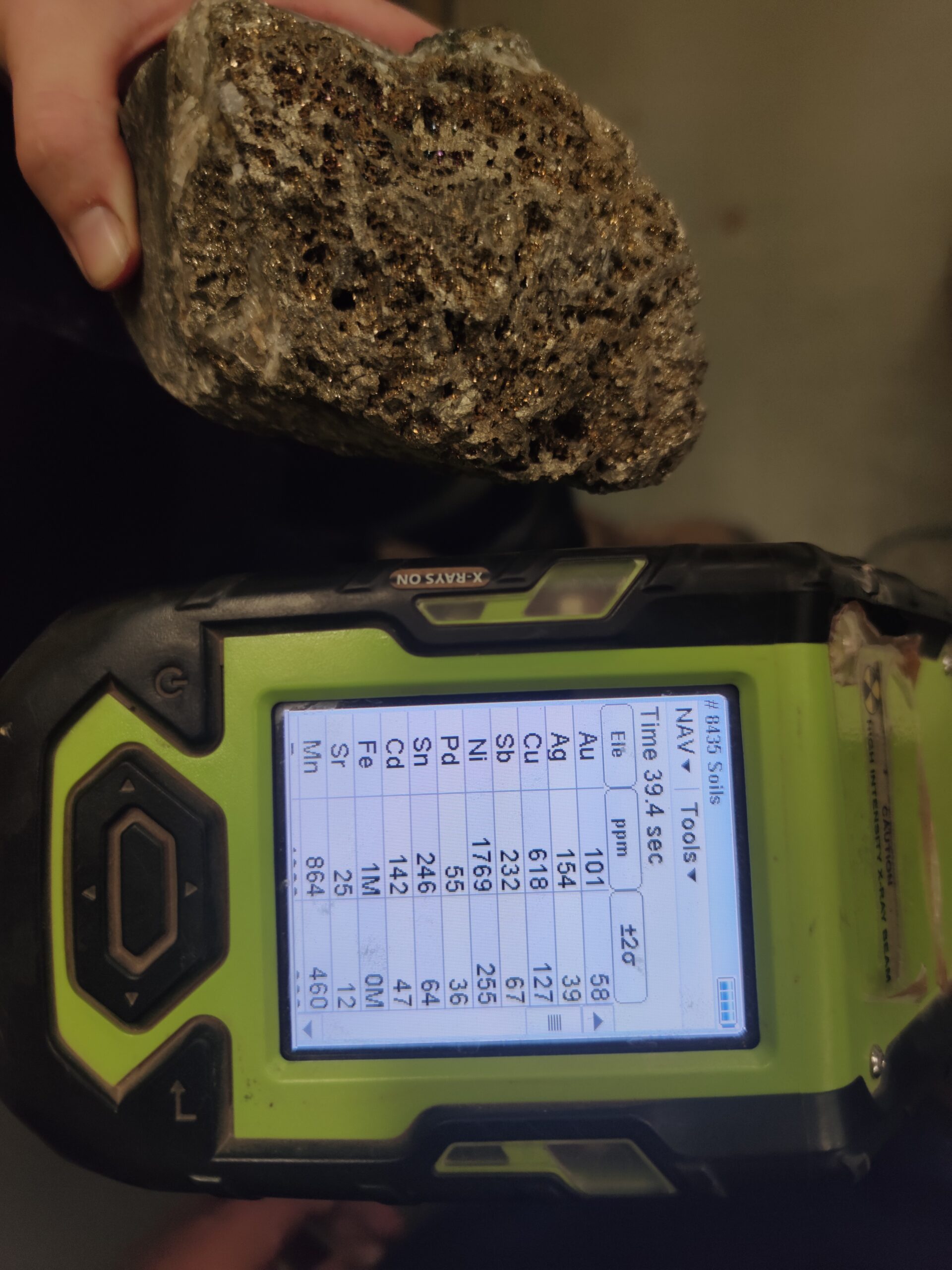
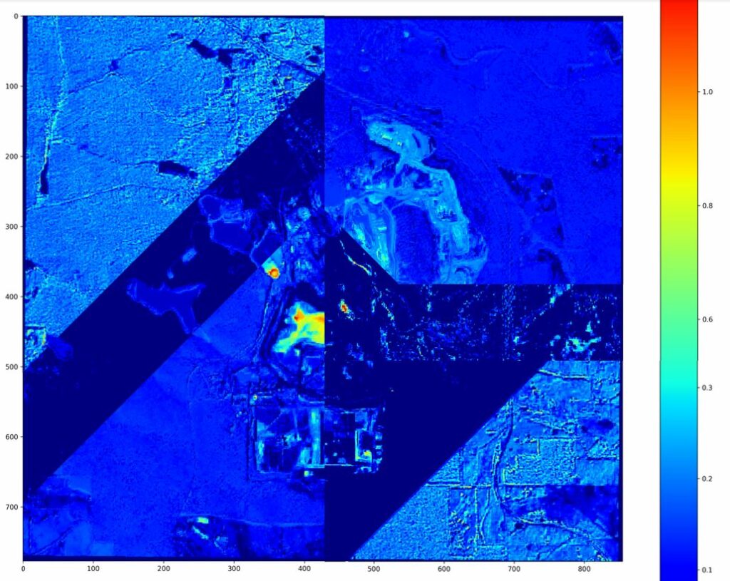
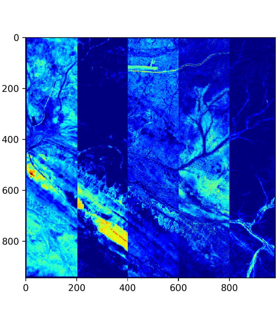
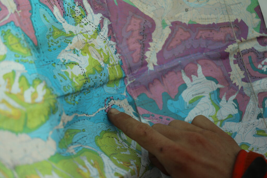
Acquiring geochemical and geophysical information is essential to map anomalies.

Principal Component Analysis

Statistical analysis

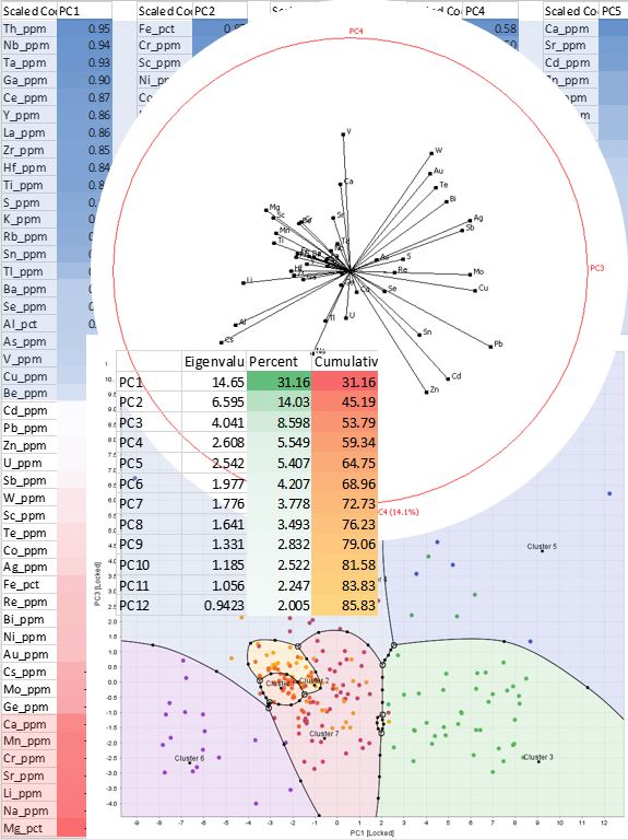
Multielement datasets can be overwhelming. We'll sort and extract valuable information

Critical minerals won't find themselves

Our proprietary workflow enables rapid satellite imagery processing. We isolate and map anomalies correlated with mineralised ground with incredible resolution and great turnaround time, even under cover.

Curious about what Akarbo can do for your project ?

Ask our remote-sensing experts a demo !

Why Work With Us

Low CAPEX

An inexpensive dataset to add to your predictive discovery tool list

Reduce risk

More data increases the chance of hitting mineralisation.

Wide horizons

With 10000sq.km2 maps, get to know more from your tenure.

Save time

A pre-processed dataset means your time is spent adding value.

Data-driven sustainable exploration

With precise analytics, we take the guess work out of the equation. The actionable metrics we deliver offer critical insights to environmental, geological, financial and production-related decision-making.

Our proprietary algorithms tap into the Sentinels 2A/B Satellite datasets weekly and make the hidden information visible. We are developing the next generation of scripts to move from multispectral to hyperspectral.

Keep in touch to discover what higher resolution analysis we could do for you !  

Multispectral satellite data : Our process

Akarbo had developed two proprietary workflows AKSTRUM & AKSATEYES to respectively provide GHG emission intelligence from third-party data sources, and AI-assisted identification of coherent signals with a wide range of applications through Principal Component Analysis.